

Back from the land of Tibet after what has been a great expedition to JarJinJiaBo. Two climbing objectives were accomplished, great Tibetan friends were made, and animals raided our camp multiple times.
We left from Chengdu and traveled for two days up onto the Tibetan Plateau on the famously dangerous Sichuan-Tibet Highway. The province we were in is in a Tibetan Autonomous region called Ganze and the area can be described as high grasslands with many mountainous uplifts. The average elevation is over 3700m and the highest peak reaches to 7500m. The main town/city, Litang, is at 4000m.
Zha Jin Jia Bo is right on the border of Sichuan and Tibet just north of the town Batang. It is nestled on the southern portion of the Garraspun massif in a valley just north of the Xiashe massif. Both have peaks reaching 5800m.


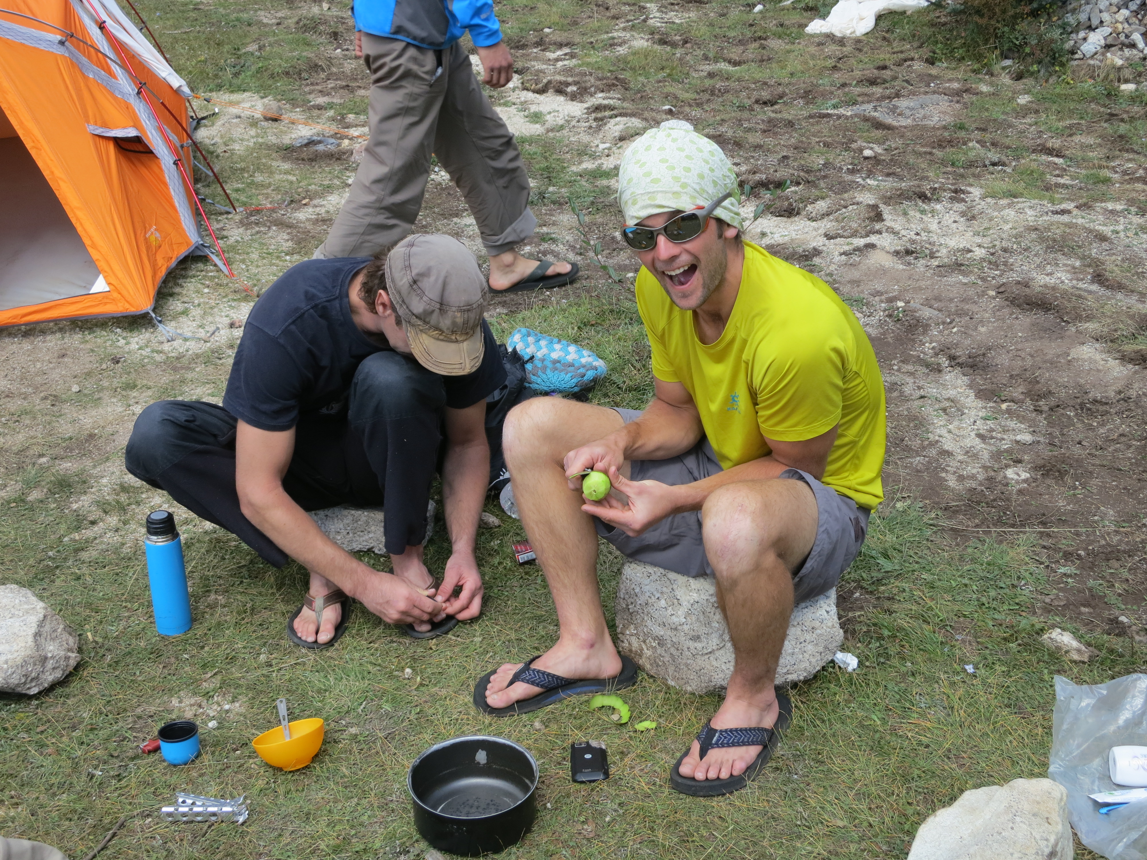
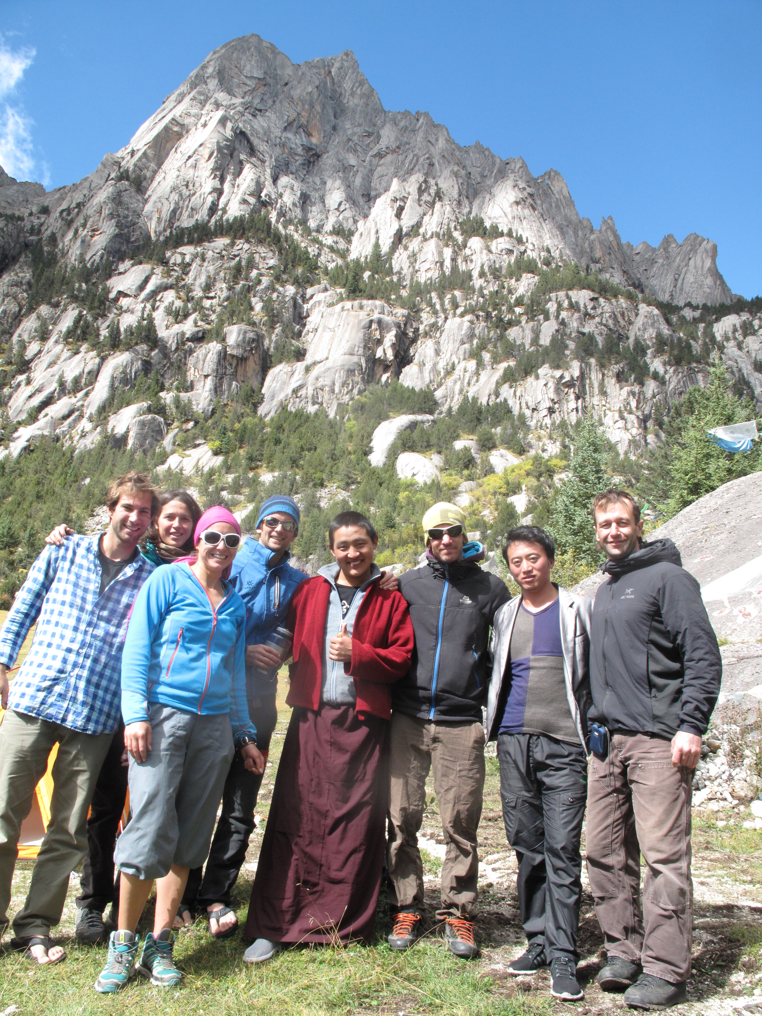
Our team, Andrew Hedesh, Zhoulei, Claire Thomas, Melonie, fellow BD Athlete Sylvain Millet, Thomas all looked at each other and thought “man there is alot of rock out here.” I told Andrew that we were going to go straight up the center of the mountain.
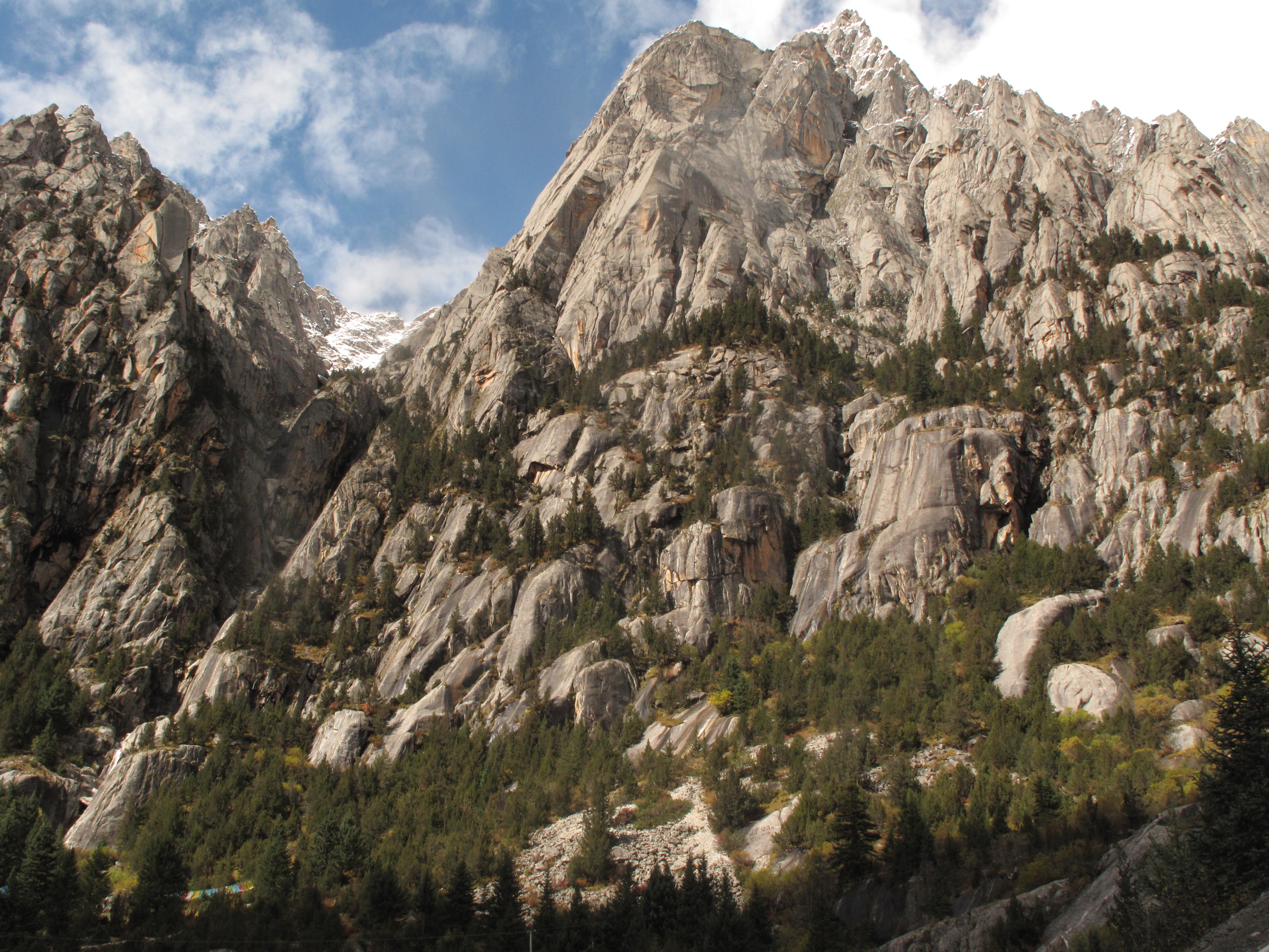
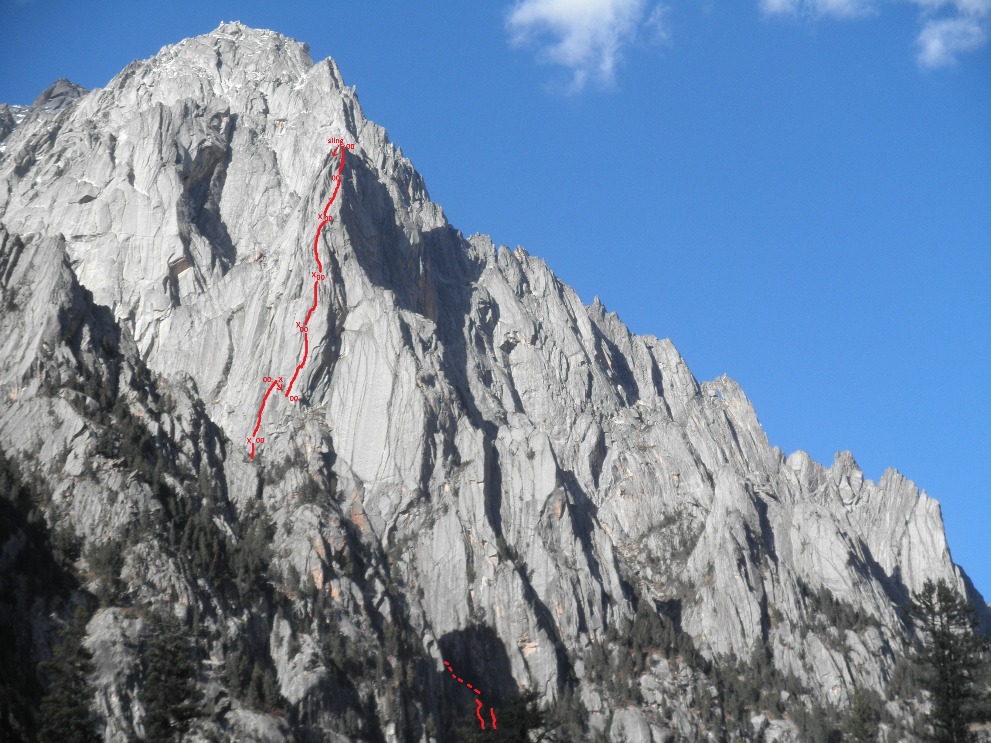
We arrived and set up base camp with a massive fin of rock towering above us. It brought on such a presence that it became clear that this ridge of rock would become my climbing objective for the trip.


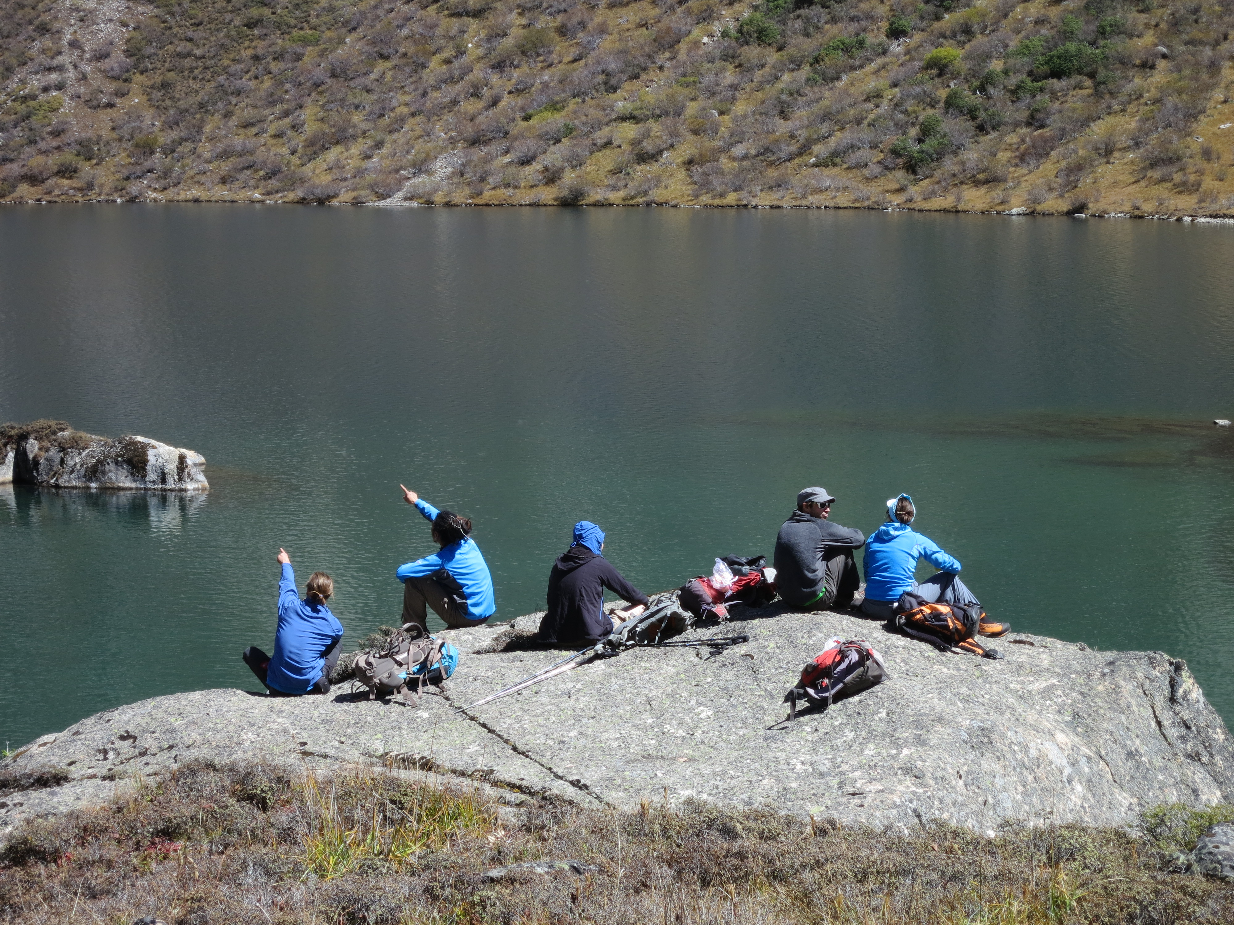
The next few days we went for a scouting/acclimatization hike up the valley to look for a mountaineering objective. We discovered an unclimbed peak that would be good for my Chinese climbing partner, Zhoulei, and I to climb.

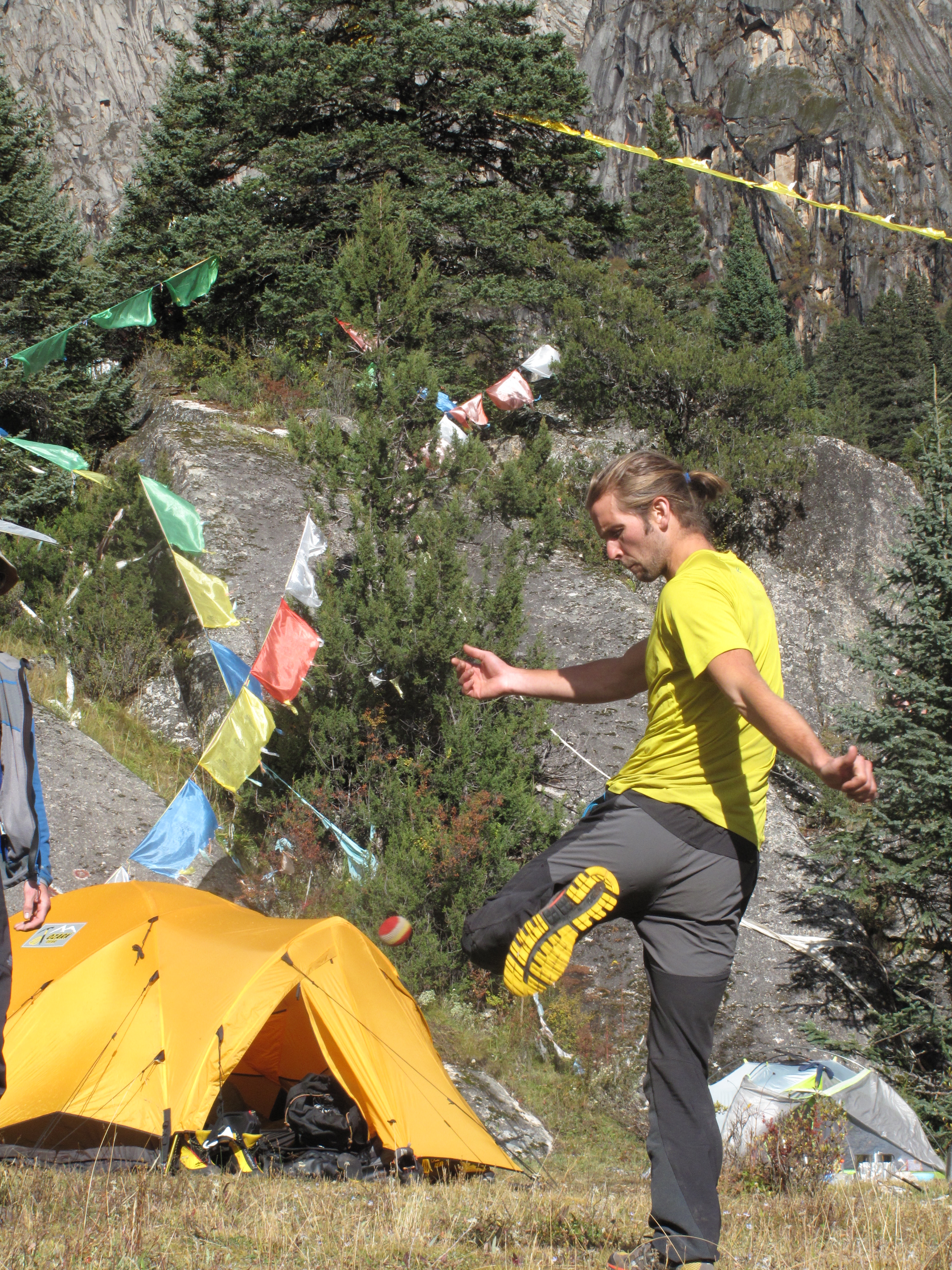
Over the next few days acute mountain sickness set in and we were all regretting traveling from sea level to 4200m. Fighting headaches, the weather went for a change and winter came. Thus began tent living for the next week. Between breaks in the weather we were able to play hacky sack though…..

During our bad weather week a raccoon broke into our tent and aggressively ate some of our food before we realized what was happening. Our cooking tent quickly became a sleeping tent as Andrew fought off this raccoon nightly. We could not get a picture of it though. So here is a nice picture of some mountain birds that roam around the area.


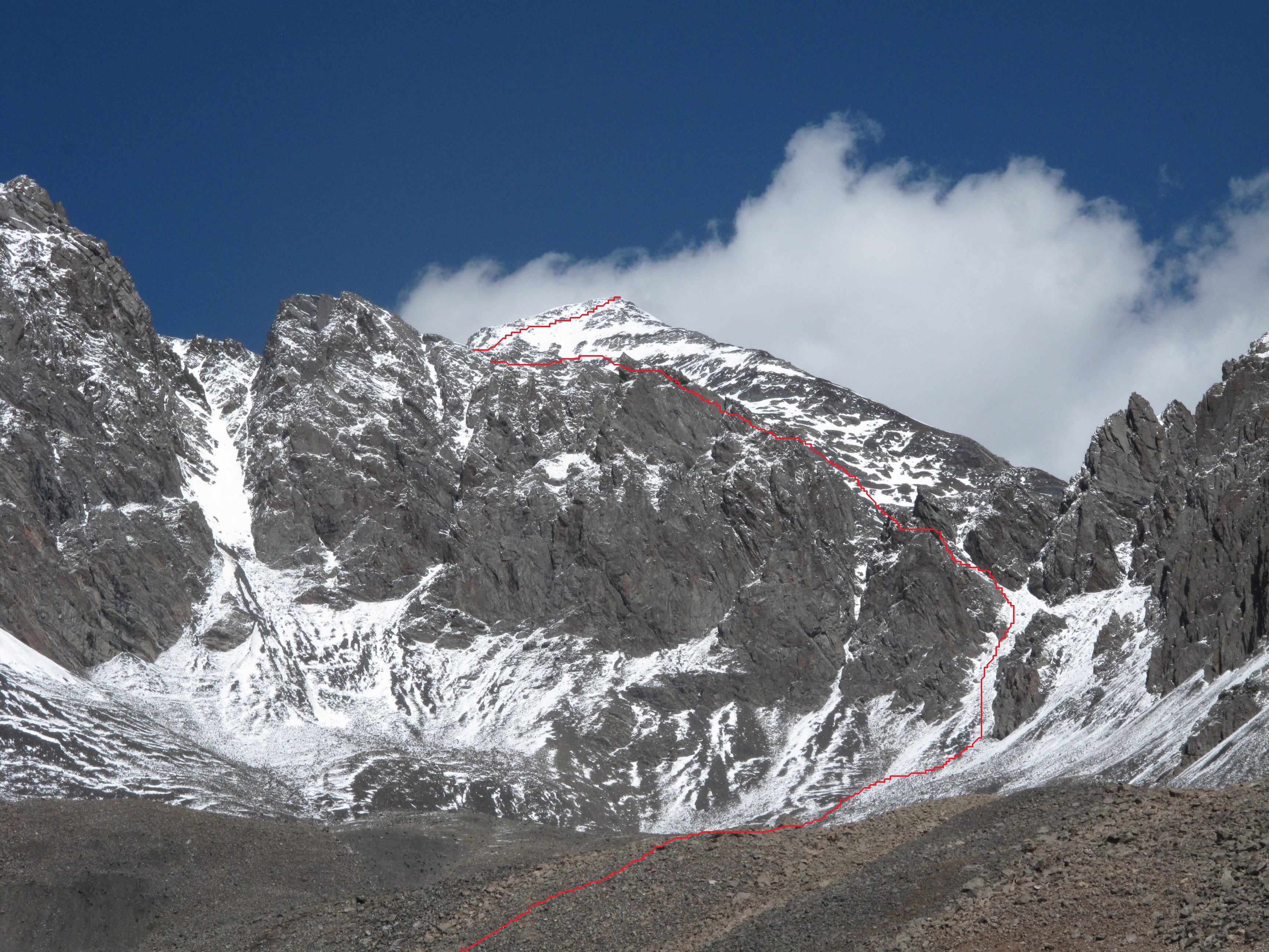
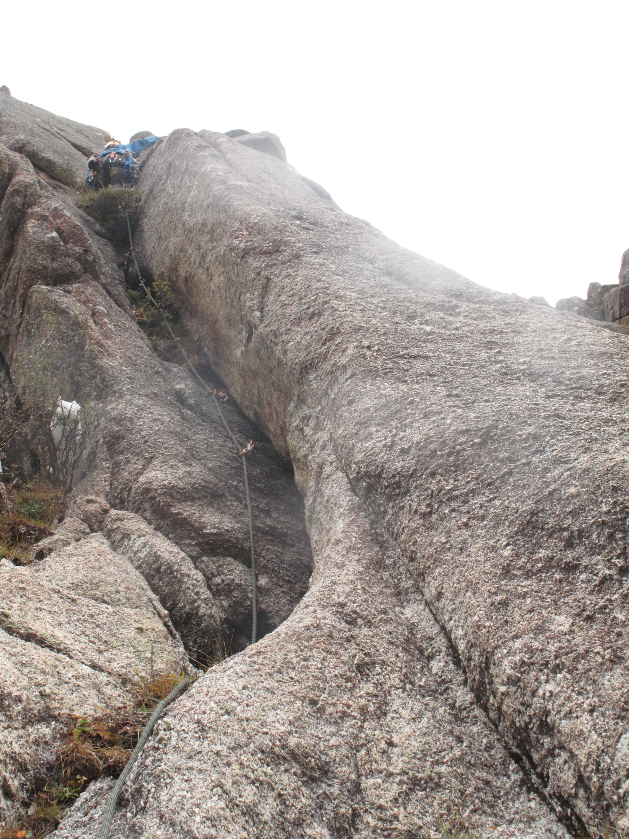
When the weather got better Andrew and I mission-ed the looming fin and established a 16 pitch classic 5.10. Upon arriving at the top of the ridge we realized that we still had another 350m of climbing to reach the top of the mountain. Bad weather, snow accumulation on the ridge, and the mountaineering objective deterred us from finishing the route. We climbed the fin and felt like we got to the top of something with 2000 ft/700m between us and the valley floor. Counting our blessing we were satisfied with the progress and decided we had all the more reason to come back to finish the route. It is my opinion that when we get to the top of the mountain it will be at least a 1100m route and one of the longest in the Chinese alpine.


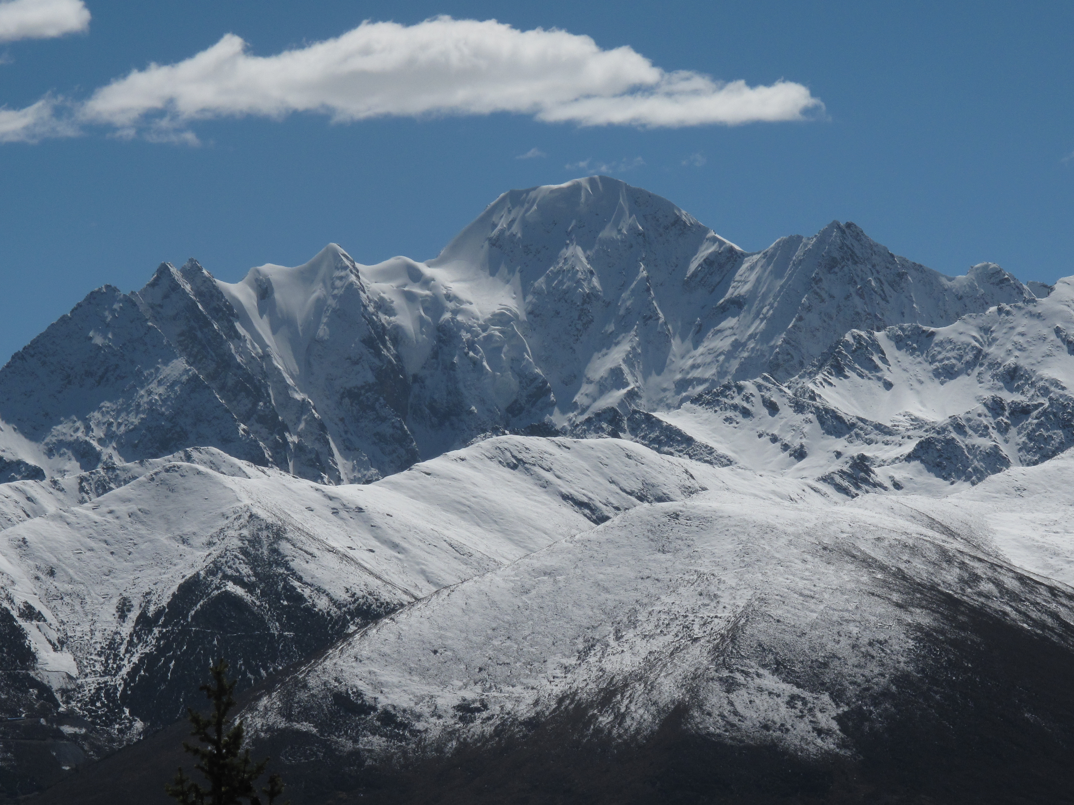
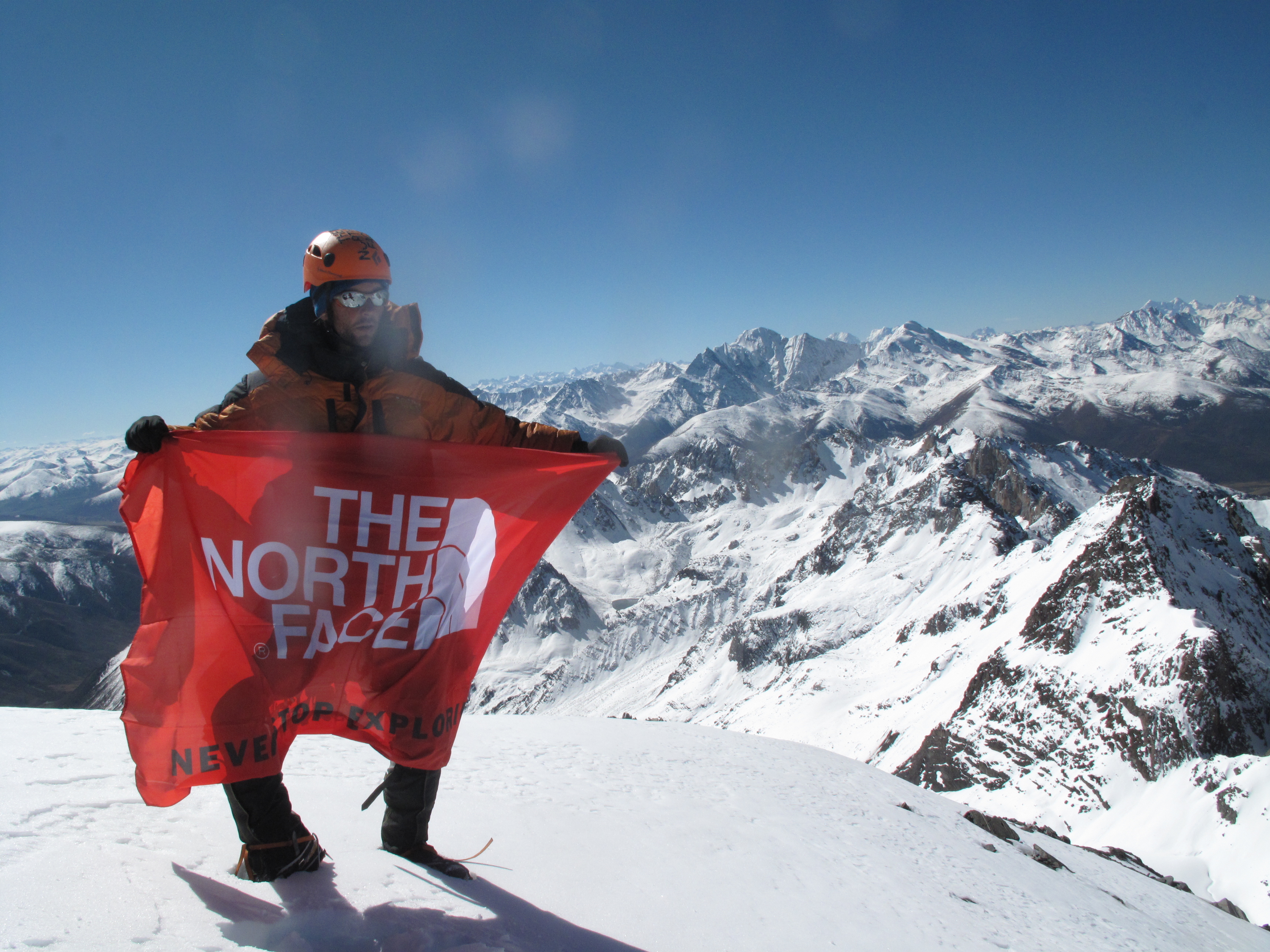
Next was the mountaineering objective. Zhoulei and I reached the summit (between 5500-5600m) on a bluebird day. Our visibility was amazingly good and we could see peaks far into Tibet and south into the Gen Yen range.
What a great trip. There is a guidebook for this area available. There is a section in the Dao Cheng Bouldering Guidebook. Download it here.
© All text, pictures, and media copyright Michael Dobie Do not reproduce in any way without consulting
